

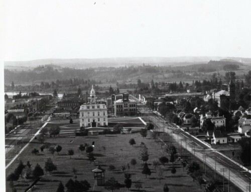
A little bit of Googling led me to the Oregon Historical County Records Guide compiled by the Oregon State Archives. The guide lists these mysterious images as being at the Marion County Archives (the County agency) as opposed to the private non-profit Marion County Historical Society (now the Willamette Heritage Center).
The problem is, upon calling, I discovered that the Marion County Archives are not open to the public. The public can only access materials, when they are requested by a Marion County Agency. In the case of these records, the archivist suggested I contact the Marion County Public Works Department and they sent me to the Marion County Surveyor’s Office.
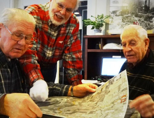
Once at the Marion County Surveyor’s Office we were able to hopefully find what the caller was looking for.
Part of the mission of the Marion County Surveyor’s Office is to:
Assist the general public with locating recorded records and historical research: property surveys, subdivision plats, partition plats, condominium plats, cemetery plats, road records, public easements, local access roads, gateways, county surveys, control surveys, GPS surveys, and general survey questions.
The postion of Marion County Surveyor has been around since 1855 when Issac N. Gilbert was appointed. The Surveyor’s office has a great timeline showing the Surveyor’s of Marion County on their website.
Leave A Comment