
Here are some commonly asked research questions and suggestions on how to get started. Use the guides below to prepare for your visit to the archives to help make sure you get the most out of your research experience.
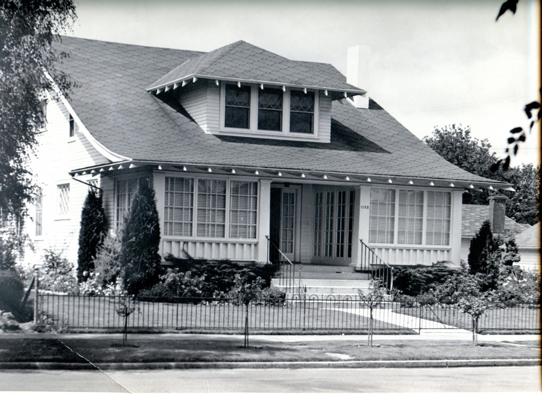
Robert Paulus House, Salem. WHC 0080.008.0009.008.01
Property research can be difficult and tedious. The best records for understanding property ownership are kept in Oregon at the county level. Before you make the trip into the county clerk’s office to scroll through microfilm, here are some tips on how to get started researching property:
Marion County, Oregon. Download the guide: Find your house.
Polk County, Oregon. Download the guide: Find your house.
You can also check out these videos for step by step instructions on how to access free online resources:
- How old is this house? Will introduce you to the Marion County Assessor’s Office online property records, and the state and city resources for finding historically listed properties.
- Marion County Deeds and Surveys. Learn how to access deed records and survey records for your property in Marion County.
- Sanborn Fire Insurance Maps. Follow the outline of your house and property over time with these unique map resources.
Do you have a Civil War soldier in your family tree? Get started with these simple steps developed by Sue Masse and the Willamette Valley Genealogical Society. This worksheet will help you sift through what you already know about your relatives to determine if they were likely veterans of the war. It will also lead you to local and online resources to help you learn more. Download the guide here.
The answer is maybe! Please contact us to find out. (research@willametteheritage.org). We don’t have an online searchable database — yet.
Check out this video to learn about more online photo resources for the Mid-Willamette Valley.
Looking for historical maps online? Here is a quick guide with links to free or could be free access.
Resources:
Sanborn Maps
Block-level maps within urban areas.
—Library of Congress — Fully free digital access
–Salem Public Library – Free with Salem Public Library Card
https://ccrls.idm.oclc.org/login?url=http://sanborn.umi.com
Metsker’s Maps
Township-level maps. Shows property ownership.
Historic Maps Works: http://www.historicmapworks.com/Search/search.php
1892 Map of Salem
https://www.willametteheritage.org/1892-map-of-salem/
GLO (Government Land Office) Survey Maps
Township-level survey maps dating to the 1850s/1860s.
BLM GLO Records Database: https://glorecords.blm.gov/
City of Salem Find Salem Historic Buildings Map
Modern map with historical properties listed.
https://www.cityofsalem.net/community/things-to-do/downtown/find-salem-historic-buildings-map
Repositories:
Library of Congress:
Fully Searchable site: https://www.loc.gov/maps/
–Salem–Area Maps: https://www.loc.gov/maps/?q=Salem,+Oregon
Marion County Surveyor’s Graphic Index
Provides digital copies of plat maps and surveys throughout Salem and the county. https://gis.co.marion.or.us/surveygraphicindex/
Tutorials:
The Willamette Heritage Center has put together a number of “How to” videos that address searching for maps online. Check out our Couch Historian Webisodes here: https://www.willametteheritage.org/research/couch-historian-webisodes/
- For Government Land Office Maps (1850s-1860s) check out Episode 3: Fun with Historical Maps.
- For Sanborn Maps check out episode 7: Walk Around the (Historical Block).
- For Surveys and plat maps check out Episode 6: Marion County Surveys and Deeds